
13 Ways to Get Your Summer Thrills in Tasmania
Make the most of the longer days this summer with adrenaline-fueled adventures and nature-rich experiences, right on your doorstep.
Words and pictures: Elizabeth Osborne
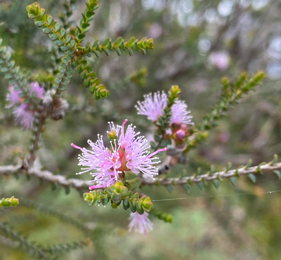
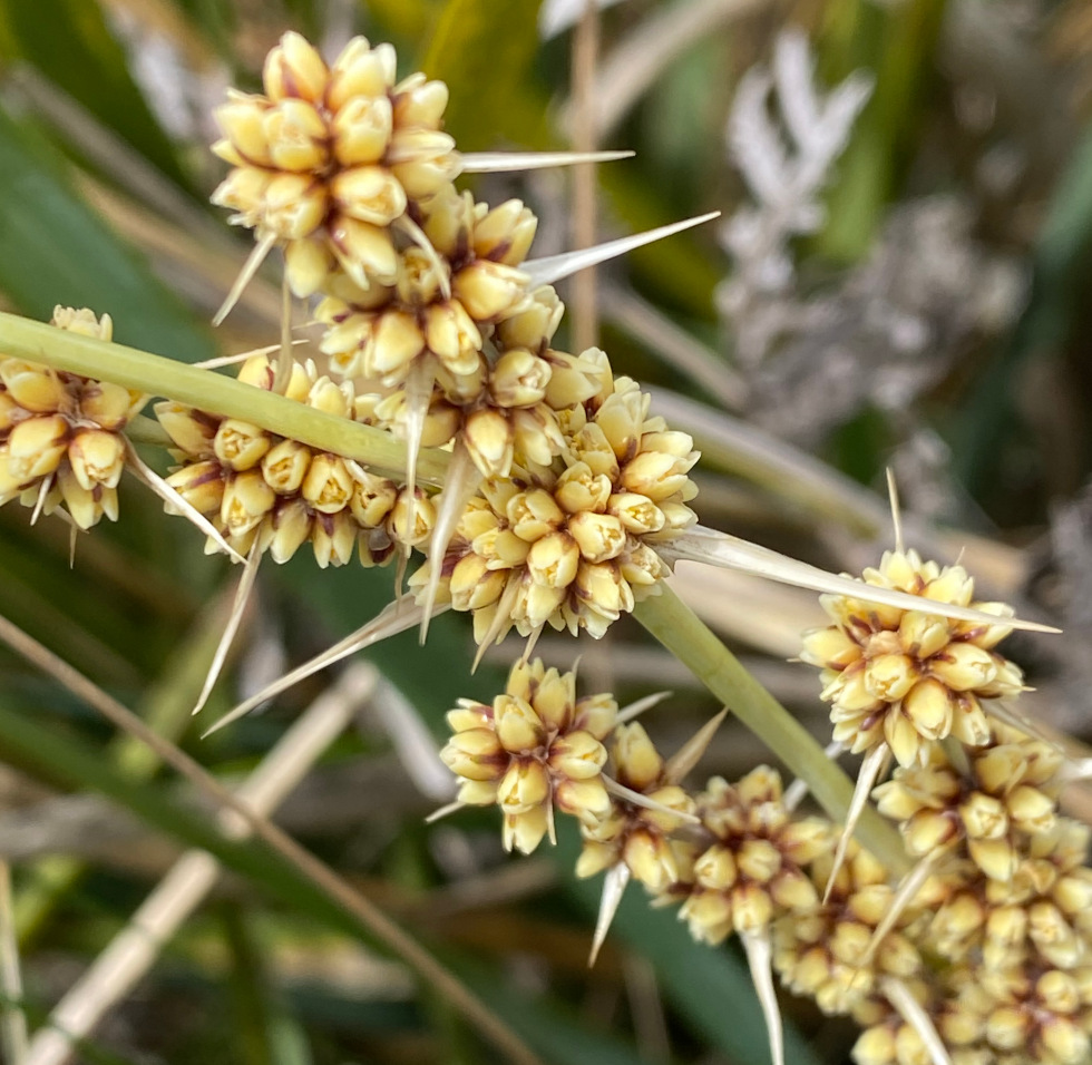
Cape Deslacs Nature Reserve Plant Trail, in the Clifton Beach Conservation Area, contains a wide diversity of native plants that have adapted to the light sandy soil and dry conditions.
The reserve is approximately 40 minutes south east of Hobart. Drive through Clifton Beach, turn left onto unsealed Bicheno Street. Drive approximately 1.5 kilometres, then turn right onto the gravel road that leads to the Cape Deslacs Nature Reserve carpark.
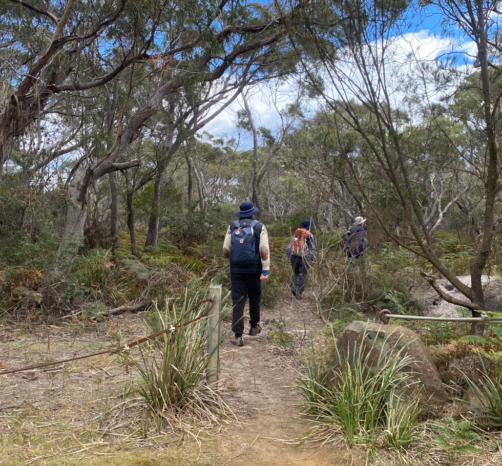
On the left of the road, before the carpark, a gap in the roadside fencing gives access to Cape Deslacs Track. The circuit track is unsigned, but its white sandy surface makes it clearly visible.
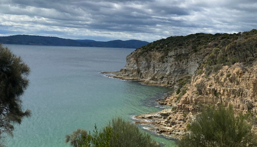
It is an easy walk along the Cape Deslacs Track through native coastal vegetation and wildlife, to the cliffs of Cape Deslacs. These sheer cliffs offer panoramic views stretching from Dodges Ferry, to Sloping Main and the Tasman Peninsula.
The track goes down a gentle slope to the commemorative plaque on the Cape Deslacs headland, recording the opening of the Clifton Beach Coastal Reserve in 1988. Large conifers that dominated the headland have been removed, revealing views over Clifton Beach, Pipe Clay Lagoon, extending as far as Kunanyi/Mount Wellington on the horizon.

Along the gravel access road that leads to the carpark are ten signs that highlight native plants suitable for home gardens.
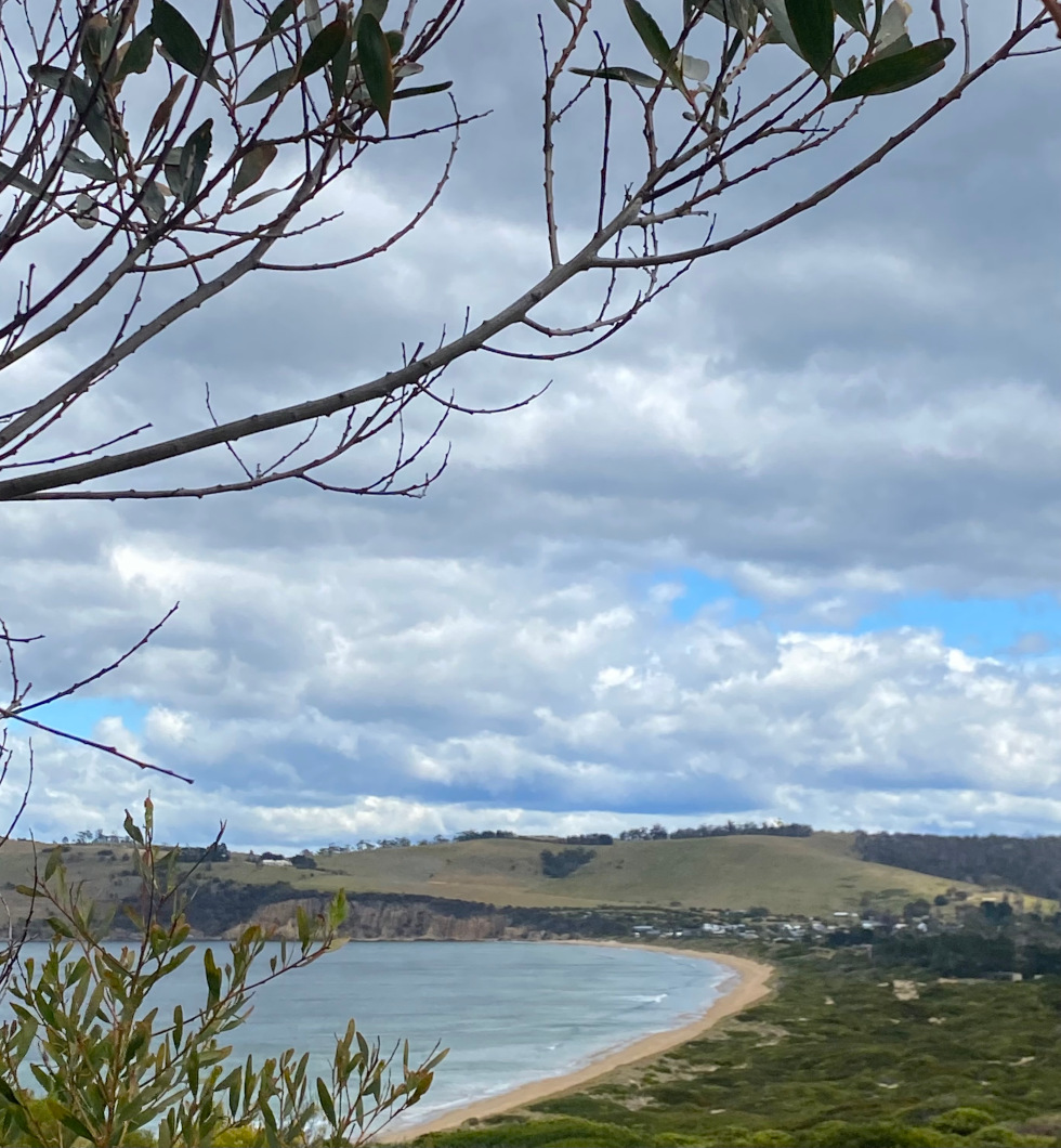
The Cape Deslacs Nature Reserve Plant Trail is sheltered behind the dunes from coastal winds. The circuit track is a relaxing walk of approximately five kilometres along clear, white sandy tracks over generally level ground, with abundant native flowers to enjoy.


Stay up to date with everything happening at the Hobart Magazine.